
Huntsville topographic map
Interactive map
Click on the map to display elevation.
About this map
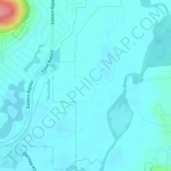
Name: Huntsville topographic map, elevation, terrain.
Location: Huntsville, Madison County, Alabama, Stati Uniti d'America (34.66607 -86.44404 34.67328 -86.43957)
Average elevation: 184 m
Minimum elevation: 174 m
Maximum elevation: 273 m
Other topographic maps
Click on a map to view its topography, its elevation and its terrain.
Huntsville
Stati Uniti d'America > Alabama > Huntsville
Huntsville, Madison County, Alabama, Stati Uniti d'America
Average elevation: 227 m