
Thank you for supporting this site ❤️
Make a donation
Make a donation
Gear up for your next adventure:
As an Amazon Associate, this site earns from qualifying purchases at no extra cost to you.
Kilambakkam topographic map
Click on the map to display elevation.
Thank you for supporting this site ❤️
Make a donation
Make a donation
Gear up for your next adventure:
As an Amazon Associate, this site earns from qualifying purchases at no extra cost to you.
About this map
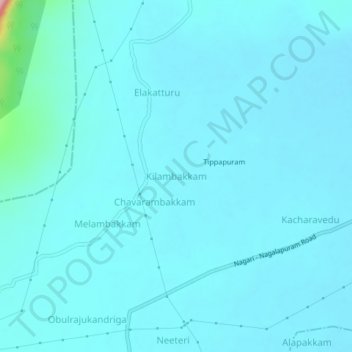
Name: Kilambakkam topographic map, elevation, terrain.
Location: Kilambakkam, Nindra, Chittoor, Andhra Pradesh, 517591, India (13.34624 79.65924 13.38624 79.69924)
Average elevation: 94 m
Minimum elevation: 80 m
Maximum elevation: 250 m
Thank you for supporting this site ❤️
Make a donation
Make a donation
Gear up for your next adventure:
As an Amazon Associate, this site earns from qualifying purchases at no extra cost to you.