
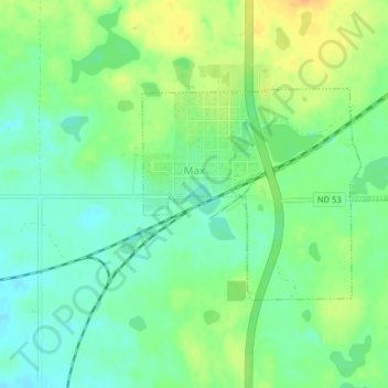
Max topographic map
Interactive map
Click on the map to display elevation.
About this map
Name: Max topographic map, elevation, terrain.
Location: Max, McLean County, North Dakota, United States (47.81209 -101.30419 47.82681 -101.27646)
Average elevation: 642 m
Minimum elevation: 628 m
Maximum elevation: 660 m