
Monsea topographic map
Interactive map
Click on the map to display elevation.
About this map
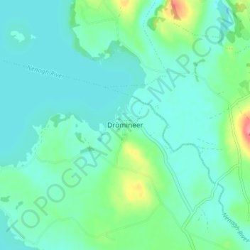
Name: Monsea topographic map, elevation, terrain.
Location: Monsea, Dromineer, County Tipperary, Munster, Ireland (52.90437 -8.29652 52.94437 -8.25652)
Average elevation: 41 m
Minimum elevation: 25 m
Maximum elevation: 105 m