Geolocate

Magnolia topographic map

Click on the map to display elevation.

About this map
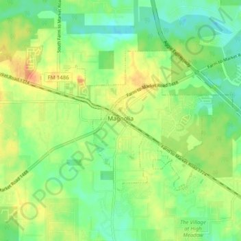
Name: Magnolia topographic map, elevation, terrain.

Location: Magnolia, Montgomery County, Texas, United States (30.18961 -95.77650 30.22826 -95.69937)

Average elevation: 77 m

Minimum elevation: 58 m

Maximum elevation: 102 m

Other topographic maps

Click on a map to view its topography, its elevation and its terrain.
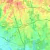
New Caney

United States > Texas > Montgomery County

Average elevation: 30 m

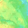
Porter

United States > Texas > Montgomery County

Average elevation: 30 m

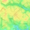
Mount Zion

United States > Texas > Montgomery County

Average elevation: 88 m

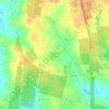
Bobville

United States > Texas > Montgomery County

Average elevation: 75 m

Gary

United States > Texas > Montgomery County

Average elevation: 71 m

Lakeland

United States > Texas > Montgomery County

Average elevation: 44 m

New Caney

United States > Texas > Montgomery County

Average elevation: 30 m

Conroe

United States > Texas > Montgomery County > Conroe > Conroe

Average elevation: 60 m

Porter

United States > Texas > Montgomery County

Average elevation: 30 m

New Caney

United States > Texas > Montgomery County

Average elevation: 30 m

Security

United States > Texas > Montgomery County

Average elevation: 53 m

Gear up for your next adventure:

🪶Down Jackets - Warm jackets for cold outdoor trips
🎧Wireless Earbuds - Music on the move
📖Outdoor Guide Books - Expert guides for Irish nature
🔌Travel Adapters - Essential for visitors to charge gear in Ireland
🪓Camping Axes & Hatchets - Wood cutting tools for campsite prep

As an Amazon Associate, this site earns from qualifying purchases at no extra cost to you.