
Marsaxlokk topographic map
Interactive map
Click on the map to display elevation.
About this map
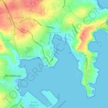
Name: Marsaxlokk topographic map, elevation, terrain.
Location: Marsaxlokk, South Eastern Region, Malta (35.81901 14.52674 35.84953 14.57274)
Average elevation: 20 m
Minimum elevation: 0 m
Maximum elevation: 68 m