
Lung Moche topographic map
Interactive map
Click on the map to display elevation.
About this map
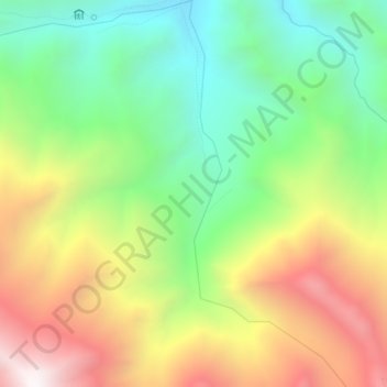
Name: Lung Moche topographic map, elevation, terrain.
Location: Lung Moche, Leh, Leh District, Ladakh, India (34.00773 77.41501 34.04467 77.43311)
Average elevation: 4,612 m
Minimum elevation: 4,006 m
Maximum elevation: 5,440 m