
瑶区瑶族乡 topographic map
Interactive map
Click on the map to display elevation.
About this map
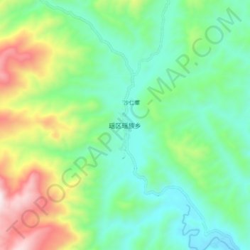
Name: 瑶区瑶族乡 topographic map, elevation, terrain.
Location: 瑶区瑶族乡, 勐腊县, 西双版纳傣族自治州, Yunnan, 666100, China (21.68650 101.50300 21.76650 101.58300)
Average elevation: 998 m
Minimum elevation: 697 m
Maximum elevation: 1,702 m