

Galeras topographic map
Click on the map to display elevation.
Galeras
Numerous minor tremors and ash emissions since March 2006 culminated on 12 July 2006 in three explosive eruptions, producing an ash and gas column reaching an altitude of 8 kilometres (5.0 mi). Rock falls and pyroclastic flows were reported from towns as distant as Consacá, 11.4 kilometres (7.1 mi) west of the main crater. The Colombian government has repeatedly ordered evacuations to temporary shelters, of more than 8500 people residing in the highest risk areas surrounding the volcano, with hopes of eventual assistance toward permanent relocation.
About this map
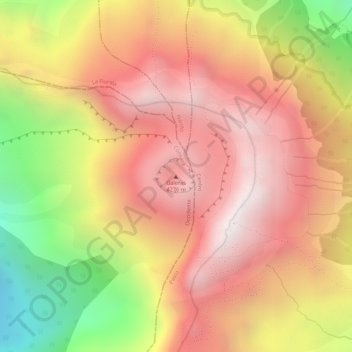
Name: Galeras topographic map, elevation, terrain.
Location: Galeras, Consacá, Occidente, Nariño, RAP Pacífico, Colombia (1.22148 -77.35901 1.22158 -77.35891)
Average elevation: 3,847 m
Minimum elevation: 3,243 m
Maximum elevation: 4,208 m