Geolocate

Barawa topographic map

Click on the map to display elevation.

About this map
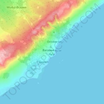
Name: Barawa topographic map, elevation, terrain.

Location: Barawa, Barawa District, Lower Shabelle, South West, Somalia (1.07278 43.99101 1.15278 44.07101)

Average elevation: 44 m

Minimum elevation: -1 m

Maximum elevation: 191 m

Gear up for your next adventure:

🧦Merino Wool Socks - Moisture-wicking and blister-preventing trail socks
🗾Ireland Map Books - Top map books for exploring Ireland
📈Fitness Trackers - Monitor activity and hike metrics
🪓Camping Hand Axes - For processing wood during forest camping
👖Zip-off Hiking Pants - Adapt to changing Irish temperatures quickly

As an Amazon Associate, this site earns from qualifying purchases at no extra cost to you.