
Modran topographic map
Interactive map
Click on the map to display elevation.
About this map
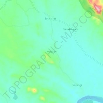
Name: Modran topographic map, elevation, terrain.
Location: Modran, Aspur Tehsil, Dungarpur, Rajasthan, India (23.87957 74.29142 23.91957 74.33142)
Average elevation: 191 m
Minimum elevation: 156 m
Maximum elevation: 310 m