
Wanla topographic map
Interactive map
Click on the map to display elevation.
About this map
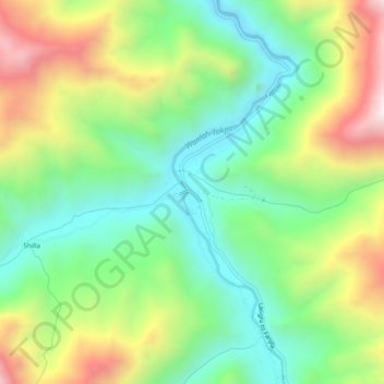
Name: Wanla topographic map, elevation, terrain.
Location: Wanla, Khaltsi, Leh District, Ladakh, India (34.22912 76.80986 34.26912 76.84986)
Average elevation: 3,450 m
Minimum elevation: 3,103 m
Maximum elevation: 4,027 m