
Kortrijk topographic map
Interactive map
Click on the map to display elevation.
About this map
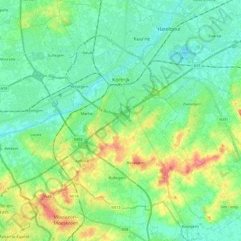
Name: Kortrijk topographic map, elevation, terrain.
Location: Kortrijk, West Flanders, Flanders, Belgium (50.73103 3.20077 50.87464 3.35890)
Average elevation: 27 m
Minimum elevation: 7 m
Maximum elevation: 75 m