
Qingshui River topographic map
Interactive map
Click on the map to display elevation.
About this map
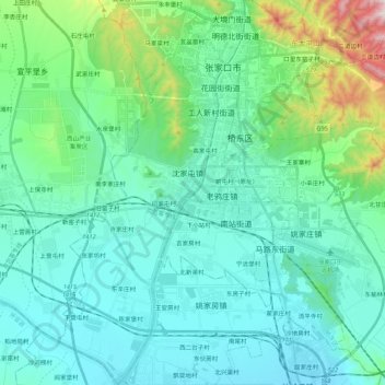
Name: Qingshui River topographic map, elevation, terrain.
Location: Qingshui River, 闫家屯村, Zhangjiakou City, Hebei, 075000, China (40.68140 114.81921 40.84548 114.89061)
Average elevation: 781 m
Minimum elevation: 645 m
Maximum elevation: 1,428 m