
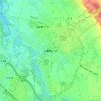
Lobberich topographic map
Interactive map
Click on the map to display elevation.
About this map
Name: Lobberich topographic map, elevation, terrain.
Average elevation: 51 m
Minimum elevation: 33 m
Maximum elevation: 89 m
Lobberich ligt in het dal van de Nette, op een hoogte van ongeveer 50 meter. In het dal liggen een aantal vijvers.