
Thank you for supporting this site ❤️
Make a donation
Make a donation
Gear up for your next adventure:
As an Amazon Associate, this site earns from qualifying purchases at no extra cost to you.
Madh topographic map
Click on the map to display elevation.
Thank you for supporting this site ❤️
Make a donation
Make a donation
Gear up for your next adventure:
As an Amazon Associate, this site earns from qualifying purchases at no extra cost to you.
About this map
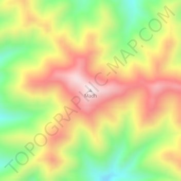
Name: Madh topographic map, elevation, terrain.
Location: Madh, Hotan County, Hotan Prefecture, Xinjiang, China (34.46201 78.85443 34.46211 78.85453)
Average elevation: 5,559 m
Minimum elevation: 5,262 m
Maximum elevation: 5,843 m
Thank you for supporting this site ❤️
Make a donation
Make a donation
Gear up for your next adventure:
As an Amazon Associate, this site earns from qualifying purchases at no extra cost to you.