
Robla topographic map
Interactive map
Click on the map to display elevation.
About this map
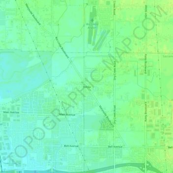
Name: Robla topographic map, elevation, terrain.
Average elevation: 14 m
Minimum elevation: 7 m
Maximum elevation: 20 m
Other topographic maps
Click on a map to view its topography, its elevation and its terrain.
Rosemont
United States > California > Sacramento County > Sacramento
Rosemont, Sacramento, Sacramento County, California, 95826, United States
Average elevation: 18 m
Detention Pond
United States > California > Sacramento County > Sacramento
Detention Pond, Sacramento, Sacramento County, CAL Fire Northern Region, California, United States
Average elevation: 5 m
Riverside
United States > California > Sacramento County > Sacramento
Riverside, Sacramento, Sacramento County, California, 95822, United States
Average elevation: 7 m
Wild Rose Park
United States > California > Sacramento County > Sacramento
Wild Rose Park, Sacramento, Sacramento County, California, United States
Average elevation: 7 m