
Stueng Hav topographic map
Interactive map
Click on the map to display elevation.
About this map
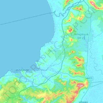
Name: Stueng Hav topographic map, elevation, terrain.
Location: Stueng Hav, Khaet Preah Sihanouk, Cambodia (10.65137 103.54208 10.94182 103.81446)
Average elevation: 26 m
Minimum elevation: -3 m
Maximum elevation: 305 m