
Fisher topographic map
Interactive map
Click on the map to display elevation.
About this map
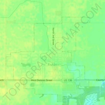
Name: Fisher topographic map, elevation, terrain.
Location: Fisher, Champaign County, Illinois, USA (40.30677 -88.36046 40.32910 -88.33663)
Average elevation: 220 m
Minimum elevation: 209 m
Maximum elevation: 225 m