
Innichen - San Candido topographic map
Interactive map
Click on the map to display elevation.
About this map
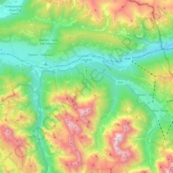
Name: Innichen - San Candido topographic map, elevation, terrain.
Average elevation: 1,791 m
Minimum elevation: 1,097 m
Maximum elevation: 3,046 m
Other topographic maps
Click on a map to view its topography, its elevation and its terrain.
Toblach - Dobbiaco
Italy > Trentino – Alto Adige/Südtirol > South Tyrol
Toblach - Dobbiaco, Pustertal - Val Pusteria, South Tyrol, Trentino – Alto Adige/Südtirol, 39034, Italy
Average elevation: 1,813 m