
Nhơn Trạch District topographic map
Interactive map
Click on the map to display elevation.
About this map
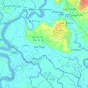
Name: Nhơn Trạch District topographic map, elevation, terrain.
Location: Nhơn Trạch District, Đồng Nai Province, Vietnam (10.57921 106.75117 10.78522 107.01806)
Average elevation: 6 m
Minimum elevation: -4 m
Maximum elevation: 56 m