
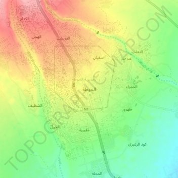
Lahij topographic map
Interactive map
Click on the map to display elevation.
About this map
Name: Lahij topographic map, elevation, terrain.
Location: Lahij, Al Hawtah District, Lahij Governorate, Yemen (13.01778 44.84361 13.09778 44.92361)
Average elevation: 126 m
Minimum elevation: 78 m
Maximum elevation: 185 m