
Thank you for supporting this site ❤️
Make a donation
Make a donation
Gear up for your next adventure:
As an Amazon Associate, this site earns from qualifying purchases at no extra cost to you.
Ahuacatlán topographic map
Click on the map to display elevation.
Thank you for supporting this site ❤️
Make a donation
Make a donation
Gear up for your next adventure:
As an Amazon Associate, this site earns from qualifying purchases at no extra cost to you.
About this map
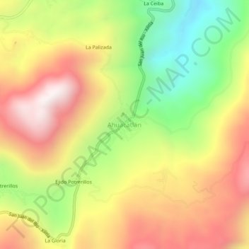
Name: Ahuacatlán topographic map, elevation, terrain.
Location: Ahuacatlán, Xilitla, San Luis Potosi, Mexico (21.30051 -99.07271 21.34051 -99.03271)
Average elevation: 1,321 m
Minimum elevation: 770 m
Maximum elevation: 1,840 m
Thank you for supporting this site ❤️
Make a donation
Make a donation
Gear up for your next adventure:
As an Amazon Associate, this site earns from qualifying purchases at no extra cost to you.