
Bosque Nativo de Yagual topographic map
Interactive map
Click on the map to display elevation.
About this map
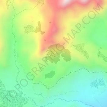
Name: Bosque Nativo de Yagual topographic map, elevation, terrain.
Average elevation: 3,945 m
Minimum elevation: 3,712 m
Maximum elevation: 4,263 m
Other topographic maps
Click on a map to view its topography, its elevation and its terrain.
Ambato
Equador > Tungurahua > Ambato > Ambato
Ambato, Tungurahua, 0838, Equador
Average elevation: 3,145 m