
Make a donation
Gear up for your next adventure:
As an Amazon Associate, this site earns from qualifying purchases at no extra cost to you.
Gefen topographic map
Click on the map to display elevation.
Make a donation
Gear up for your next adventure:
As an Amazon Associate, this site earns from qualifying purchases at no extra cost to you.
About this map
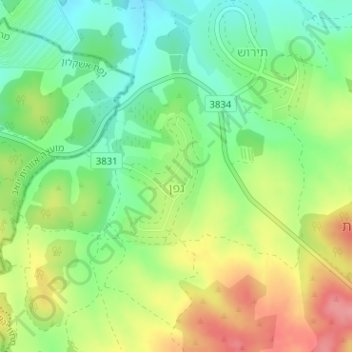
Name: Gefen topographic map, elevation, terrain.
Average elevation: 167 m
Minimum elevation: 128 m
Maximum elevation: 217 m
Make a donation
Gear up for your next adventure:
As an Amazon Associate, this site earns from qualifying purchases at no extra cost to you.
Other topographic maps
Click on a map to view its topography, its elevation and its terrain.
Zecharya
Israel > Jerusalem District > Mate Yehuda Regional Council
The Tell rests upon a high hilltop, whereas the village lay on a slightly elevated part of the valley below, on the northwest side of the hill. The hill rises to a maximum elevation of 372 meters above sea level, with a mean elevation of approximately 275 meters above sea level. The village lay next to the…
Average elevation: 278 m
Make a donation
Gear up for your next adventure:
As an Amazon Associate, this site earns from qualifying purchases at no extra cost to you.
Make a donation
Gear up for your next adventure:
As an Amazon Associate, this site earns from qualifying purchases at no extra cost to you.