
王甲村 topographic map
Interactive map
Click on the map to display elevation.
About this map
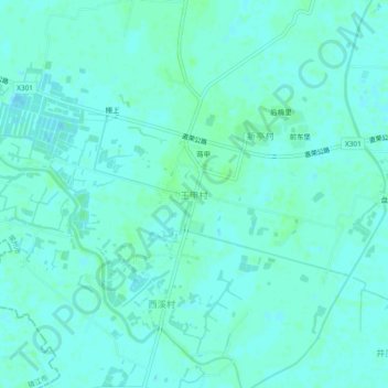
Name: 王甲村 topographic map, elevation, terrain.
Location: 王甲村, Changzhou, Jiangsu, 213000, China (31.82826 119.43438 31.86826 119.47438)
Average elevation: 6 m
Minimum elevation: 3 m
Maximum elevation: 10 m
Other topographic maps
Click on a map to view its topography, its elevation and its terrain.