
Pal Talav topographic map
Interactive map
Click on the map to display elevation.
About this map
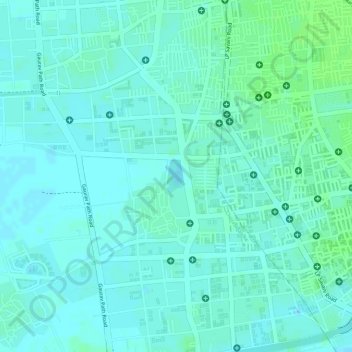
Name: Pal Talav topographic map, elevation, terrain.
Location: Pal Talav, Chorasi Taluka, Surat District, Gujarat, India (21.19500 72.77750 21.19765 72.77901)
Average elevation: 9 m
Minimum elevation: 5 m
Maximum elevation: 14 m