
Nanping topographic map
Interactive map
Click on the map to display elevation.
About this map
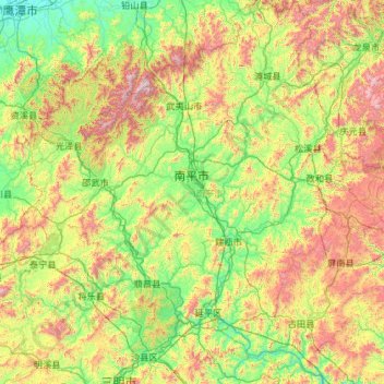
Name: Nanping topographic map, elevation, terrain.
Location: Nanping, Fujian, China (26.24660 116.99828 28.32052 119.27073)
Average elevation: 525 m
Minimum elevation: 23 m
Maximum elevation: 2,072 m
Other topographic maps
Click on a map to view its topography, its elevation and its terrain.