
Sillahertane topographic map
Interactive map
Click on the map to display elevation.
About this map
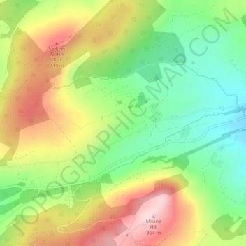
Name: Sillahertane topographic map, elevation, terrain.
Location: Sillahertane, Milane, West Cork, County Cork, Munster, Ireland (51.69916 -9.22312 51.71258 -9.18815)
Average elevation: 213 m
Minimum elevation: 101 m
Maximum elevation: 350 m
County Cork trails, hiking, mountain biking, running and outdoor activities
Other topographic maps
Click on a map to view its topography, its elevation and its terrain.