
La Punta topographic map
Interactive map
Click on the map to display elevation.
About this map
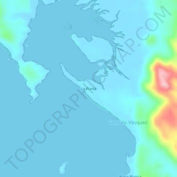
Name: La Punta topographic map, elevation, terrain.
Location: La Punta, Gonzalo Vásquez, Distrito Chimán, Panamá (8.40837 -78.48124 8.44837 -78.44124)
Average elevation: 17 m
Minimum elevation: -2 m
Maximum elevation: 195 m