Geolocate

Kingsley topographic map

Click on the map to display elevation.

About this map
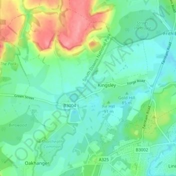
Name: Kingsley topographic map, elevation, terrain.

Location: Kingsley, East Hampshire, Hampshire, England, United Kingdom (51.12455 -0.90415 51.15165 -0.83307)

Average elevation: 88 m

Minimum elevation: 64 m

Maximum elevation: 147 m

Gear up for your next adventure:

🧗Rock Climbing Gear - Essentials for the cliffs of Moher or Gap of Dunloe
🧤Thermal Outdoor Gloves - Windproof and waterproof gloves for winter hiking
🛡️Protective Bike Gear - Helmets & pads for safe rides
🍁Eco‑Friendly Outdoor Products - Sustainable outdoor gear
🖼️Vintage Irish Map Prints - Decorative wall art for map lovers and geographers

As an Amazon Associate, this site earns from qualifying purchases at no extra cost to you.