Geolocate

Stithians topographic map

Click on the map to display elevation.

About this map
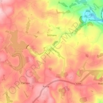
Name: Stithians topographic map, elevation, terrain.

Location: Stithians, Cornwall, England, United Kingdom (50.15456 -5.22841 50.20692 -5.14583)

Average elevation: 151 m

Minimum elevation: 24 m

Maximum elevation: 217 m

Gear up for your next adventure:

🚴Mountain Bikes - Bikes for off‑road trails and terrain
🧤Thermal Outdoor Gloves - Windproof and waterproof gloves for winter hiking
🧥Gore-Tex Rain Jackets - Breathable and fully waterproof shells for Irish weather
🧥Waterproof Hiking Jackets - Rain jackets for unpredictable weather
🗺️Topographic Maps - Detailed maps for hiking, cycling and planning routes

As an Amazon Associate, this site earns from qualifying purchases at no extra cost to you.