
Beledweyne District topographic map
Interactive map
Click on the map to display elevation.
About this map
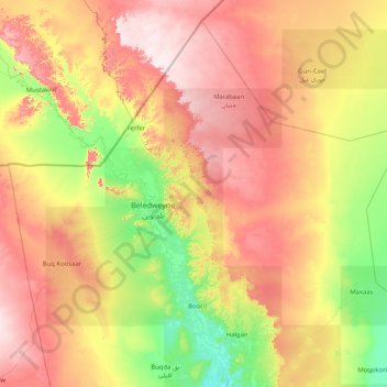
Name: Beledweyne District topographic map, elevation, terrain.
Location: Beledweyne District, Hiiraan, Hirshabelle, Somalia (4.07630 44.58957 5.53638 46.23000)
Average elevation: 306 m
Minimum elevation: 151 m
Maximum elevation: 534 m
Other topographic maps
Click on a map to view its topography, its elevation and its terrain.
Beledweyne
Somalia > Hiiraan > Beledweyne
Beledweyne, Belet Weyne بلد وين, Hiiraan, Somalia
Average elevation: 222 m