
容西镇 topographic map
Interactive map
Click on the map to display elevation.
About this map
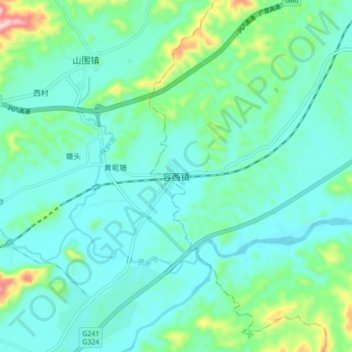
Name: 容西镇 topographic map, elevation, terrain.
Location: 容西镇, 容县, 玉林市, 广西壮族自治区, 543000, 中国 (22.75582 110.40538 22.83582 110.48538)
Average elevation: 124 m
Minimum elevation: 73 m
Maximum elevation: 334 m