
Thank you for supporting this site ❤️
Make a donation
Make a donation
Gear up for your next adventure:
As an Amazon Associate, this site earns from qualifying purchases at no extra cost to you.
Hintlesham topographic map
Click on the map to display elevation.
Thank you for supporting this site ❤️
Make a donation
Make a donation
Gear up for your next adventure:
As an Amazon Associate, this site earns from qualifying purchases at no extra cost to you.
About this map
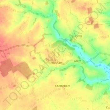
Name: Hintlesham topographic map, elevation, terrain.
Location: Hintlesham, Burstall, Babergh, Suffolk, England, United Kingdom (52.03305 0.99740 52.07191 1.07232)
Average elevation: 48 m
Minimum elevation: 14 m
Maximum elevation: 71 m
Thank you for supporting this site ❤️
Make a donation
Make a donation
Gear up for your next adventure:
As an Amazon Associate, this site earns from qualifying purchases at no extra cost to you.