
上砂镇 topographic map
Interactive map
Click on the map to display elevation.
About this map
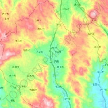
Name: 上砂镇 topographic map, elevation, terrain.
Location: 上砂镇, 揭西县, 揭阳市, 广东省, 中国 (23.41631 115.60199 23.56017 115.72538)
Average elevation: 363 m
Minimum elevation: 51 m
Maximum elevation: 757 m