
Douglas County topographic map
Interactive map
Click on the map to display elevation.
About this map
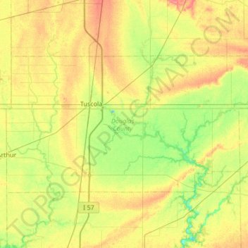
Name: Douglas County topographic map, elevation, terrain.
Location: Douglas County, Illinois, United States (39.65159 -88.47318 39.88022 -87.93591)
Average elevation: 204 m
Minimum elevation: 181 m
Maximum elevation: 234 m
Other topographic maps
Click on a map to view its topography, its elevation and its terrain.
Wood Oaks Green Park Sled Hill
United States > Illinois > Cook County > Northbrook
Average elevation: 202 m