
Palmerola 2 topographic map
Interactive map
Click on the map to display elevation.
About this map
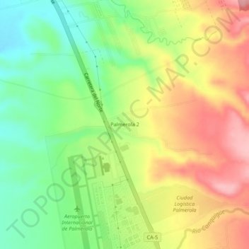
Name: Palmerola 2 topographic map, elevation, terrain.
Location: Palmerola 2, Comayagua, Honduras (14.37829 -87.63412 14.41829 -87.59412)
Average elevation: 641 m
Minimum elevation: 573 m
Maximum elevation: 718 m
Other topographic maps
Click on a map to view its topography, its elevation and its terrain.