
Gravely topographic map
Interactive map
Click on the map to display elevation.
About this map
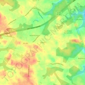
Name: Gravely topographic map, elevation, terrain.
Location: Gravely, Anne Arundel County, Maryland, 21035, United States (38.93622 -76.65469 38.97622 -76.61469)
Average elevation: 35 m
Minimum elevation: 4 m
Maximum elevation: 57 m
Other topographic maps
Click on a map to view its topography, its elevation and its terrain.
Mayo
United States > Maryland > Anne Arundel County
Mayo, Anne Arundel County, Maryland, 21106, United States
Average elevation: 2 m
Fort Meade
United States > Maryland > Anne Arundel County > Fort Meade
Fort Meade, Anne Arundel County, Maryland, United States
Average elevation: 53 m