
Las Peñas Coloradas topographic map
Interactive map
Click on the map to display elevation.
About this map
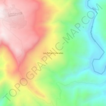
Name: Las Peñas Coloradas topographic map, elevation, terrain.
Location: Las Peñas Coloradas, Del Nayar, Nayarit, 63535, México (22.04484 -104.59019 22.08484 -104.55019)
Average elevation: 722 m
Minimum elevation: 291 m
Maximum elevation: 1,239 m
Other topographic maps
Click on a map to view its topography, its elevation and its terrain.