
Fota topographic map
Interactive map
Click on the map to display elevation.
About this map
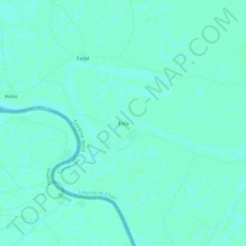
Name: Fota topographic map, elevation, terrain.
Location: Fota, Logone-et-Chari, Far-North, Cameroon (12.20702 14.58361 12.24702 14.62361)
Average elevation: 291 m
Minimum elevation: 288 m
Maximum elevation: 292 m