
Upper Heyford topographic map
Interactive map
Click on the map to display elevation.
About this map
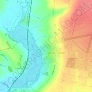
Name: Upper Heyford topographic map, elevation, terrain.
Average elevation: 101 m
Minimum elevation: 71 m
Maximum elevation: 140 m
Other topographic maps
Click on a map to view its topography, its elevation and its terrain.
Milton
United Kingdom > England > Oxfordshire > Cherwell District
Milton, Cherwell District, Oxfordshire, England, United Kingdom
Average elevation: 111 m