
Indian Bay topographic map
Interactive map
Click on the map to display elevation.
About this map
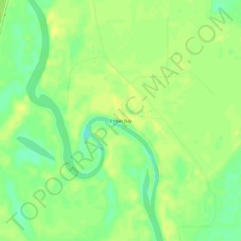
Name: Indian Bay topographic map, elevation, terrain.
Location: Indian Bay, Monroe County, Arkansas, United States (34.36288 -91.08706 34.40288 -91.04706)
Average elevation: 48 m
Minimum elevation: 35 m
Maximum elevation: 56 m