
愚园 topographic map
Interactive map
Click on the map to display elevation.
About this map
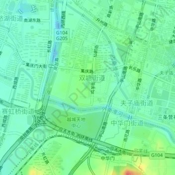
Name: 愚园 topographic map, elevation, terrain.
Location: 愚园, 秦淮区, 夫子庙街道, 南京市, 江苏省, 中国 (32.01660 118.76784 32.01958 118.76933)
Average elevation: 14 m
Minimum elevation: -6 m
Maximum elevation: 47 m