
Hoherodskopf topographic map
Interactive map
Click on the map to display elevation.
About this map
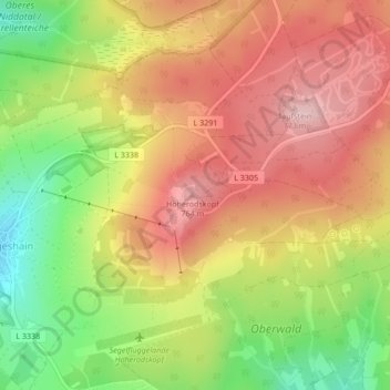
Name: Hoherodskopf topographic map, elevation, terrain.
Location: Hoherodskopf, Schotten, Vogelsbergkreis, Hesse, Germany (50.51110 9.22720 50.51120 9.22730)
Average elevation: 680 m
Minimum elevation: 562 m
Maximum elevation: 772 m