
Dunn County topographic map
Interactive map
Click on the map to display elevation.
About this map
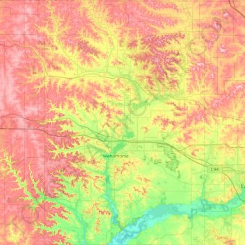
Name: Dunn County topographic map, elevation, terrain.
Location: Dunn County, Wisconsin, United States of America (44.68358 -92.15708 45.20951 -91.64958)
Average elevation: 309 m
Minimum elevation: 214 m
Maximum elevation: 414 m