
Kičin topographic map
Interactive map
Click on the map to display elevation.
About this map
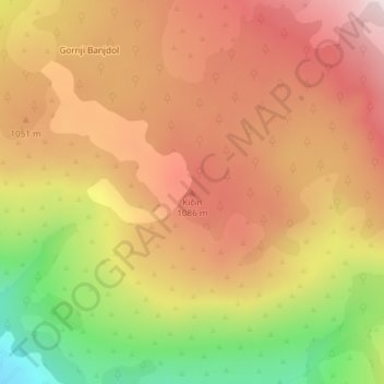
Name: Kičin topographic map, elevation, terrain.
Location: Kičin, Mostar, City of Mostar, Herzegovina-Neretva Canton, B&H (43.29581 17.96357 43.29591 17.96367)
Average elevation: 995 m
Minimum elevation: 694 m
Maximum elevation: 1,204 m
Other topographic maps
Click on a map to view its topography, its elevation and its terrain.