
Altensam topographic map
Interactive map
Click on the map to display elevation.
About this map
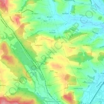
Name: Altensam topographic map, elevation, terrain.
Location: Altensam, Pühret, Bezirk Vöcklabruck, 4690, Österreich (48.02206 13.68791 48.06206 13.72791)
Average elevation: 446 m
Minimum elevation: 398 m
Maximum elevation: 519 m