
Hisam topographic map
Interactive map
Click on the map to display elevation.
About this map
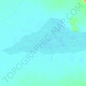
Name: Hisam topographic map, elevation, terrain.
Location: Hisam, Ennedi-Ouest, Chad (16.80367 21.76982 16.82367 21.78982)
Average elevation: 533 m
Minimum elevation: 526 m
Maximum elevation: 572 m