
Kedunguter topographic map
Interactive map
Click on the map to display elevation.
About this map
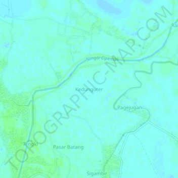
Name: Kedunguter topographic map, elevation, terrain.
Location: Kedunguter, Brebes, Central Java, Indonesia (-6.83815 109.01580 -6.79815 109.05580)
Average elevation: 3 m
Minimum elevation: -3 m
Maximum elevation: 8 m